close icon

  Volusia County offices will be closed on Dec. 25 and Jan. 1, in observance of the holidays.


  Coastal Floods, Severe Rip Currents, and Significant Rainfall Expected. Read More.


Search

Flood Map Viewer

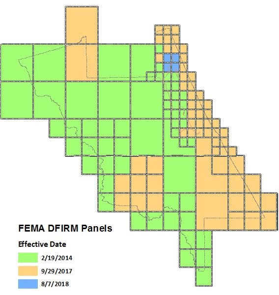
The current Flood Risk products are below ... effective February 19, 2014, September 29, 2017, and August 7, 2018

Flood Risk Index Panels by update year

Flood Map Viewer

Map book containing parcels, streets, and municipal boundaries with FEMA DFIRM data. Click on the page number to bring up that map page.

FEMA DFIRM Panels  in PDF format. Click on the box for that panel.

Flood Insurance Study volume 1, volume 2, volume 3, volume 4, volume 5

FEMA Flood Information Mapping Center

For additional resources, view Flood and Floodplain Information.

    How Can We Serve You?

    Contact Us

    If you don't find what you're looking for you can reach out to us through our contact form or call us at 386-736-2700. Thank you!

    We use cookies to provide and improve our services. By using our site, you consent to cookies.