Interactive Mapping
Just want a simple map? Click the picture below and explore more than a dozen maps including zoning, land use, dangerous dogs and more.
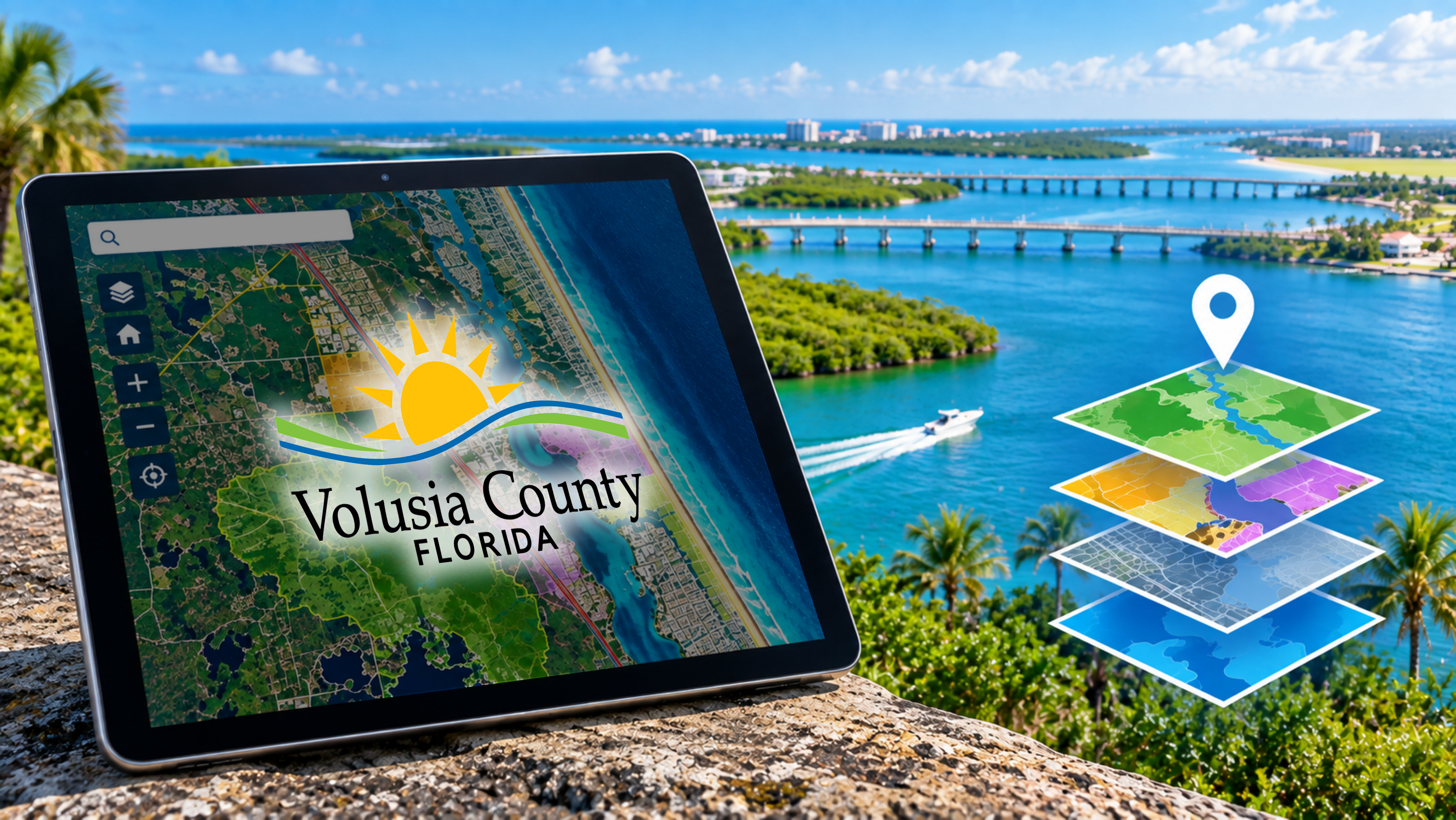
We recommend using Chrome for viewing our interactive maps.
| Go to the Mapping Application | Description of Mapping Application |
|---|---|
Kiosk Map | This application allows you to view multiple departments' information in one location. You can use it to accomplish advanced tasks: view Land Use and Planning information, voting districts, and a multitude of other GIS layers available for your interaction. |
Flood Zones | This application allows you to enter an address and locate whether or not you are in a flood zone. For the official FEMA flood hazard maps, visit the FEMA site. |
Storm Surge | This application allows you to enter an address and locate whether or not you are in a hurricane storm surge or evacuation zone. |
Park Amenities | Need to rent a pavilion, meeting room, sports field, camp site, or a fire pit on the beach? Use this map to see a picture of the facility. |
ECHO Activities | Volusia County abounds with recreational, natural, and historic places to view and experience first-hand. Ecological, Cultural, Historical and Outdoor (ECHO) activities — this application lets you view information from multiple organizations in one location. |