Understanding Floodmaps
Understanding FEMA’s Role in Flood Risk Mapping
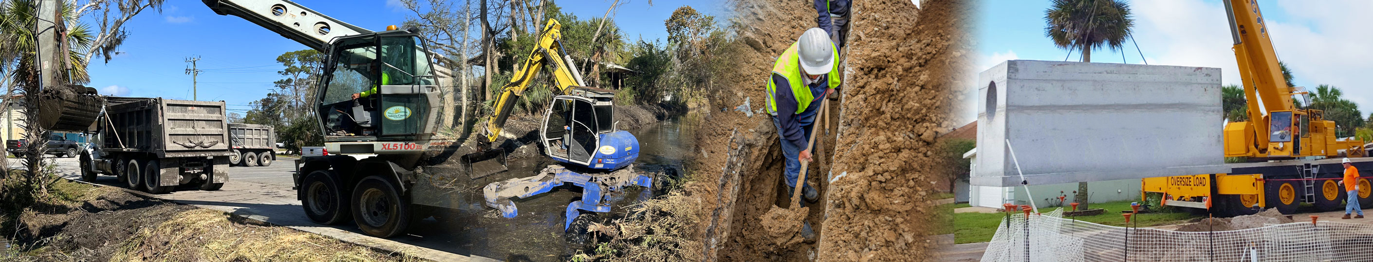
Flood maps play a crucial role in determining flood risks for properties, guiding development decisions, and influencing flood insurance requirements. While many assume that local governments create these maps, flood maps are actually designed and maintained by the Federal Emergency Management Agency (FEMA) through the National Flood Insurance Program (NFIP).
FEMA produces Flood Insurance Rate Maps (FIRMs), which define flood zones, identify high-risk areas, and establish base flood elevations (BFEs)—the estimated water level during a 1% annual chance flood event (commonly referred to as a "100-year flood"). These maps are developed using hydrologic and hydraulic modeling, historical flood data, rainfall trends, and topographic surveys to assess flood risk and predict where flooding is most likely to occur.
While FEMA is responsible for creating these maps, local governments like Volusia County use them for floodplain management, permitting, and disaster planning. County officials do not create FEMA flood maps but may provide updated local data to FEMA to help refine flood risk assessments. When new flood risk data becomes available—such as the completion of a stormwater improvement project or changes in land development—local governments can work with FEMA to request a Letter of Map Change (LOMC) to update a specific property’s flood designation.
Flood maps are periodically updated, but they may not always reflect recent changes in drainage infrastructure, storm events, or development patterns. Residents are encouraged to review their FEMA-designated flood zones and understand how they may be affected by local flood risks. The most current flood maps for Volusia County can be accessed through FEMA’s Flood Map Service Center.